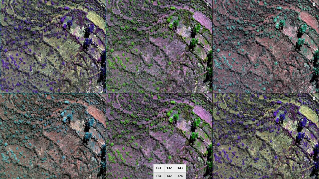
Using a parrot sequoia camera we mapped abandoned agricultural fields in Tupicocha, Huarochiri. Band combination from the ortho mosaic.
Using a parrot sequoia camera we mapped abandoned agricultural fields in Tupicocha, Huarochiri. Band combination from the ortho mosaic.