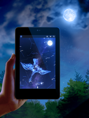
It is amazing for me to think about the human race finding their way before the invention of the modern GPS. While Google Maps and Waze are modern conveniences accessible to all with a smartphone, the sky has a long standing tradition of helping people find their way.
In ancient times, sailors would venture out into the sea and use celestial bodies and landmarks to calculate their position and direction. While many may believe that sailors were able to look at the stars and quickly calculate and determine their position, they needed an array of tools for their calculations including a sextant, almanac, and clock, demonstrating the many steps needed to be taken to find their way.
Despite the modern advancements and conveniences, many space programs, including NASA, continue to use celestial navigation to find their way through the sky.While technology has evolved exponentially over time, this demonstrates that it is sometimes best to rely on methods that are tried and true.


 ted prehistoric stone circle in the world. this site helps us understand Neolithic and Bronze Age ceremonial and mortuary practices. Its construction was specifically made to align along the midwinter sunset-midsummer sunrise solstitial axis. The picture shows the sun align through Stonehenge during the winter solstice.
 optic church. The temple of Isis is orientated towards the rising position of Sirius. The temple of Hathor contains different astronomical traditions which each add their own stars, asterisms and constellations. The monumental temple of Hathor is position to face the rising of Ursa Major while also being perpendicular to the flow of the Nile river. It is understood that the placement was to incorporate both astrological and topographic orientations. These ideas are understood from the ceremonies and related texts engraved on its walls. There are also feast calendars and the circular zodiac in the ceiling of the small chapel.